
Watching brief at 74 Castle Street, Farnham 1995
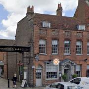
A watching brief by K D Graham of SyAS on works for a rear extension confirmed that the site had previously been extensively disturbed and no trace survived of the 13th century pottery kiln identified in 1991.
For more information please view the attached report
