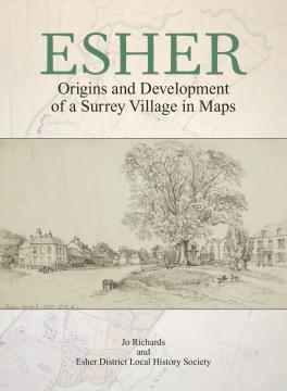
ESHER Origins and Development of a Surrey Village in Maps
This volume in the Society’s Villages Study Project offers a comprehensive assessment of Esher’s development from pre-history to the mid-19th century. Settlement growth and land-use change across the whole parish is illustrated by a series of newly created place-name maps together with reproductions of original maps and plans. Researched and prepared by Jo Richards aided by the research group of Esher District Local History Society.
Size A4, 66 pages of which 25 in colour, 30 maps plus 17 tables and illustrations
Price: £10.00 (add £3.00 p+p). This book is currently available from the author and Esher District Local History Society. Enquiries sent to Surrey Archaeological Society will be forwarded.


